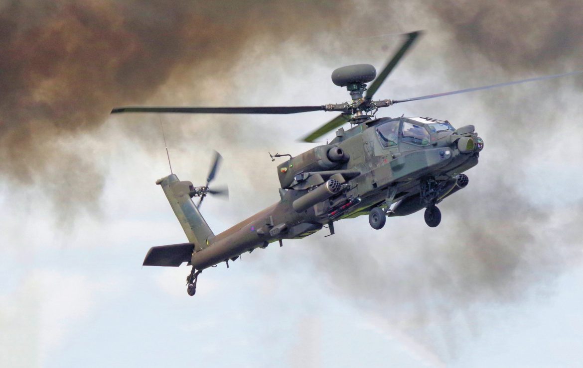
When a helicopter seeks to land, target enemies or maneuver through mountainous terrain in snowy, foggy, sandstorm-covered areas, pilot crews can struggle to know where the ground is, a certain combat liability and potentially lethal circumstance. For years, the Army has been refining, experimenting with and testing various Degraded Visual Environment sensor technologies engineered to help helicopters navigate and sustain operations amid circumstances where vision, line of sight or images from standard camera sensors are obscured.
Current work is likely looking at artificial intelligence-enabled sensors and new applications able to see through otherwise inoperable conditions, and much of it is evolving out of the Army’s experience fighting wars in Iraq and Afghanistan. In response to an U.S. Central Command Operational Needs Statement as far back as 2011, the Army acquired a limited number of sensors, something the service has used as a technical baseline from which to architect new DVE applications. These sensors are designed to help crews navigate through “brown-out” or DVE-type circumstances. The Helicopter Autonomous Landing System (HALS) sensors use 94 Gigahertz millimeter-wave radar technology to provide helicopter crews with an ability to see through obscurants, an Army weapons developer told The National Interest earlier in the development of Army DVE systems.
HALS and other millimeter-wave radar technologies will be evaluated by Army developers alongside a wide range of other sensing capabilities. Some of these capabilities have included Forward Looking Infrared technologies as well as Laser Detection and Ranging sensors which use applications to “paint” or provide a detailed picture of a given landing area.
Various “queuing” technologies can also help helicopter pilots by providing aircrews with key navigational information designed to greatly assist efforts to address DVE conditions.
Program Manager Air Warrior, with Program Executive Office Soldier, previously developed a Helmet Mounted Display (HMD) technology able to provide aircrews with a 3D symbology, Army developers explained.
The symbology incorporated in the system provides aircrews with information from inertial navigation and GPS sensors, using an upgraded color display for pilots, an improvement upon what was previously a single monochrome display.
Helmet Mounted Display DVE technologies also rely upon various inertial navigation technologies as well as information from an extensive Digital Terrain Elevation Database containing maps of most of the earth’s surface, an Army developer previously told The National Interest.
Overall, the Army’s approach to DVE is oriented toward leveraging the best available sensor technologies while simultaneously engineering a technical environment wherein next-generation capabilities can easily be integrated at lower costs. At the same time, the approach is multi-pronged, meaning it will emphasize sensor technology solutions alongside advanced flight controls, and key advances in “queuing” technologies. This integrated approach is, quite naturally, aimed at increasing air-crew safety and survivability while also hoping to help provide them every conceivable tactical and operational advantage, service officials emphasized.
Kris Osborn is the defense editor for the National Interest. Osborn previously served at the Pentagon as a Highly Qualified Expert with the Office of the Assistant Secretary of the Army—Acquisition, Logistics & Technology. Osborn has also worked as an anchor and on-air military specialist at national TV networks. He has appeared as a guest military expert on Fox News, MSNBC, The Military Channel, and The History Channel. He also has a Masters Degree in Comparative Literature from Columbia University.


